Sunken Landscape
Representations of Three-Dimensional Landscape Survey Data and Their Influence on Archaeological Hypothesis Building
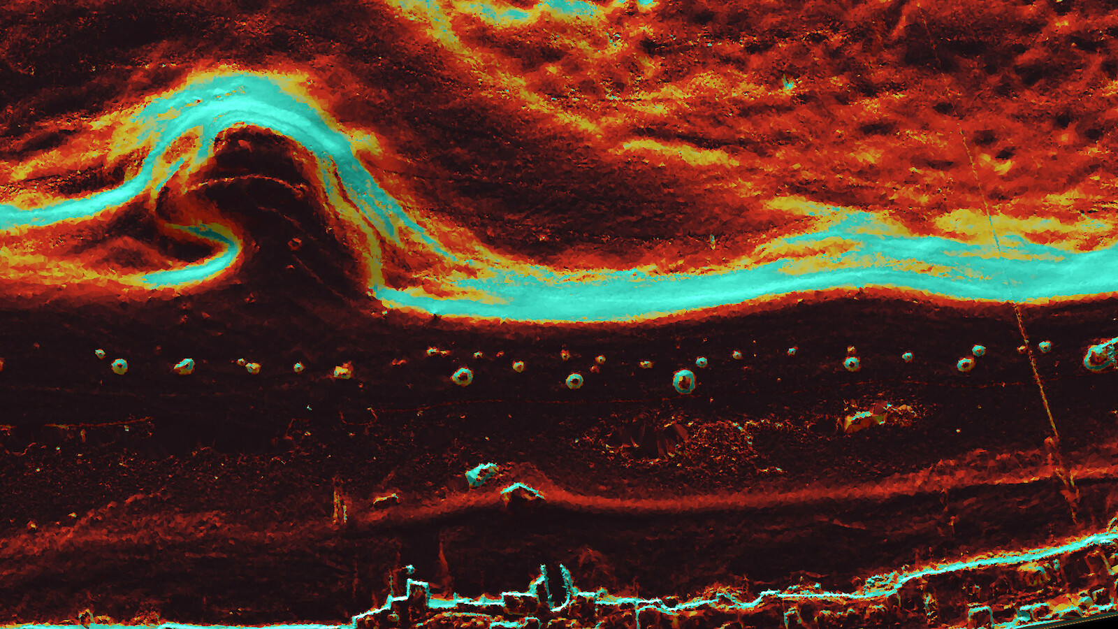
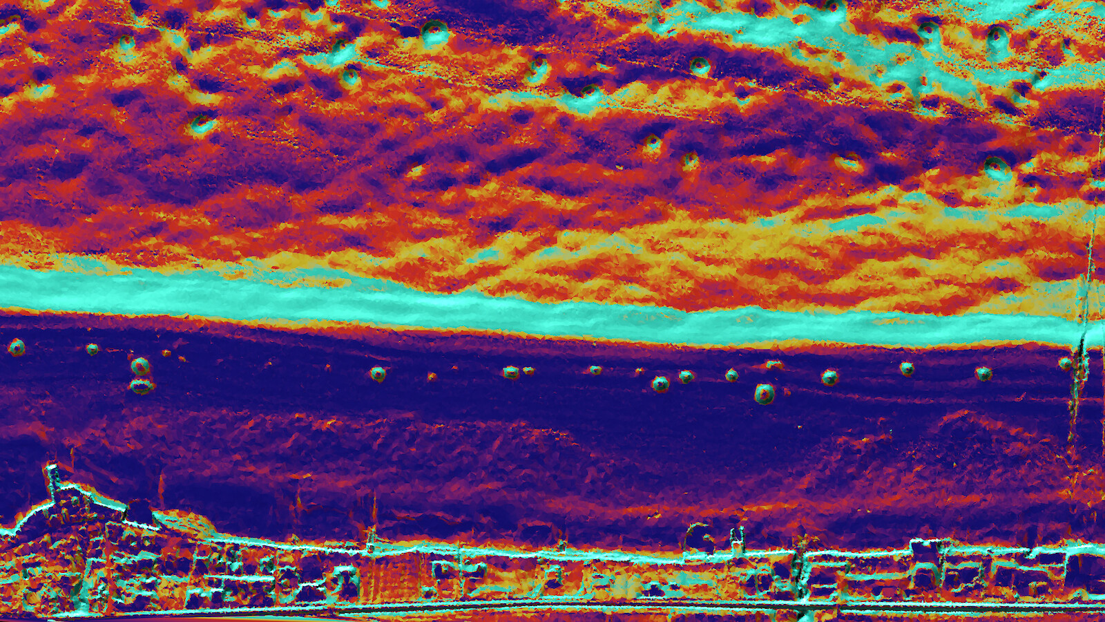
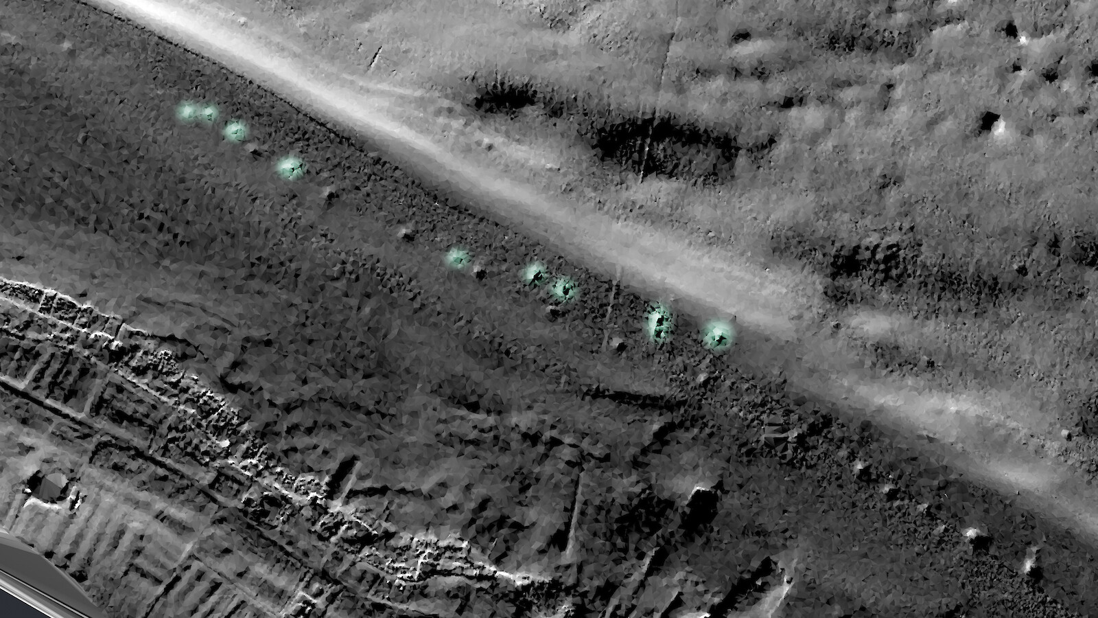
When locations are difficult to access, three-dimensional terrain data provide the only visually linked information. How does their representation influence archaeological hypothesis building? This exploratory search for answers uses multibeam echosounder data from the so-called «Bodensee-Hügeli», a series of ancient, man-made piles of stones in Lake Constance.
Methods of three-dimensional landscape surveying have been used in archaeology for just a decade. They help to document archaeological sites and also make it possible to draw conclusions about these sites’ former significance. Conspicuous structures in the 3D data sets are analysed in-depth and often are the only source of information about a newly discovered archaeological site. This M.A. project explores how such survey data need to be represented and conveyed in order to ensure an accurate scientific process and foster knowledge gain, based on 3D models of the «Bodensee-Hügeli», an underwater archaeological mystery.


